Short answerDonner Pass has 12 Caltrans road cameras on I-80, ordered west to east below. On 2026-11-20, 12 of 12 cameras with a readable timestamp showed a picture under 60 minutes old. Each picture is a still frame supplied by the DOT, not live video. For chains and closures, use the Caltrans road report.
✓ Source: California Department of Transportation (Caltrans)Feed fetched 2026-11-2012 cameras, 100% fresh (12 with timestamp) on 2026-11-20How we count
Route order of the cameras on this page, drawn to along-route miles between them (straight-line sums, no elevation). Each stop links to its picture.
12cameras on this page
100%picture under 60 min old, of 12 with a timestamp
3named routes
12with a DOT video link
west → east
12 of 12 cameras had a fresh picture at the last check
Fresh = picture file under 60 min old. Checked 2026-11-20 06:16 UTC. One probe is a snapshot, not uptime.
Donner Pass cameras in order
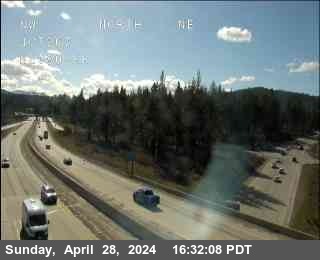
Each frame is the agency’s own still, loaded from its server. The chip shows the file’s age when we probed it on 2026-11-20. Reload the page for a newer picture.
Never faster than 2 min. The DOT does not publish how often its pictures refresh.
Picture unavailable right now. The DOT server did not return an image, and we keep no earlier copy.
OnlineStill + video linkChecked 2026-11-20 06:16 UTC
12Fresh · under 1 min oldTruckee
Hwy 267 at Truckee Bypass
Where are the Donner Pass cameras on the map?
Plotted from the latitude and longitude in the Caltrans feed. Numbers match the tiles; filled pins have a picture under 60 min old.
Donner Pass is the Sierra Nevada crossing of Interstate 80 in California. These are Caltrans highway cameras at and around the summit.
How old are the pictures?
15 min or less 12
On 2026-11-20, 12 of 12 cameras with a readable timestamp showed a picture under 60 minutes old. One probe is a snapshot, not uptime.
What should I check before I drive Donner Pass?
Read the age chip first. A picture older than an hour tells you little about the road now.
Snow on the lane: is the snow on the driving lanes, or only beside the road? Wheel tracks that show dark pavement usually mean the lane is clearer than the shoulder.
Visibility: can you see the far poles, signs or hills? If the picture is grey or the view fades after a short distance, expect low visibility. A dark picture at night shows little, so compare with the other cameras.
Traffic and chains: look for stopped vehicles, brake lights, or people putting on chains. A still cannot show chain rules. Open the Caltrans road report for chain or traction rules and closures.
Look at the camera order: from west to east, about 17 mi along the cameras. Conditions can differ between the two ends of a pass.
A camera shows one spot at one moment. Reload for a newer still, and never look at a screen while driving.
Camera details
Cameras with route, direction the lens faces, milepost and picture age at the 2026-11-20 probe
Camera images: California Department of Transportation (Caltrans), public CWWP2 data feeds. Images are DOT-provided and may be delayed. They are monitoring images, not for navigation or driving decisions, and you should never look at a camera while driving. Not affiliated with any DOT. See the disclaimer and data sources.
 Picture unavailable right now. The DOT server did not return an image, and we keep no earlier copy.
 Picture unavailable right now. The DOT server did not return an image, and we keep no earlier copy.
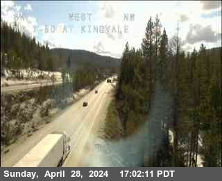 Picture unavailable right now. The DOT server did not return an image, and we keep no earlier copy.
 Picture unavailable right now. The DOT server did not return an image, and we keep no earlier copy.
 Picture unavailable right now. The DOT server did not return an image, and we keep no earlier copy.
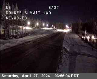 Picture unavailable right now. The DOT server did not return an image, and we keep no earlier copy.
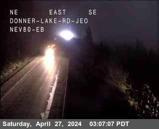 Picture unavailable right now. The DOT server did not return an image, and we keep no earlier copy.
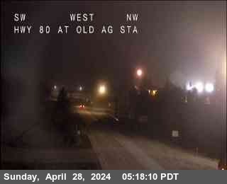 Picture unavailable right now. The DOT server did not return an image, and we keep no earlier copy.
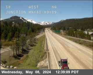 Picture unavailable right now. The DOT server did not return an image, and we keep no earlier copy.
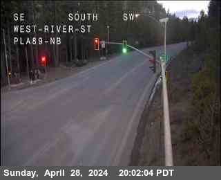 Picture unavailable right now. The DOT server did not return an image, and we keep no earlier copy.
 Picture unavailable right now. The DOT server did not return an image, and we keep no earlier copy.
 Picture unavailable right now. The DOT server did not return an image, and we keep no earlier copy.